Life Verse:

"...I have come that they may have life and that they may have it more abundantly." -- JESUS in John 10:10

Saturday, February 19, 2011

Hike Saturday - Cherokee Ridge Alpine Trail

Hike: Cherokee Ridge Alpine Trail (North & South Loops), Kowliga, AL, Sat. 2/19/2011, 09:18-12:00
Distance: 4 miles  Rating: 5/5
Difficulty: Easy
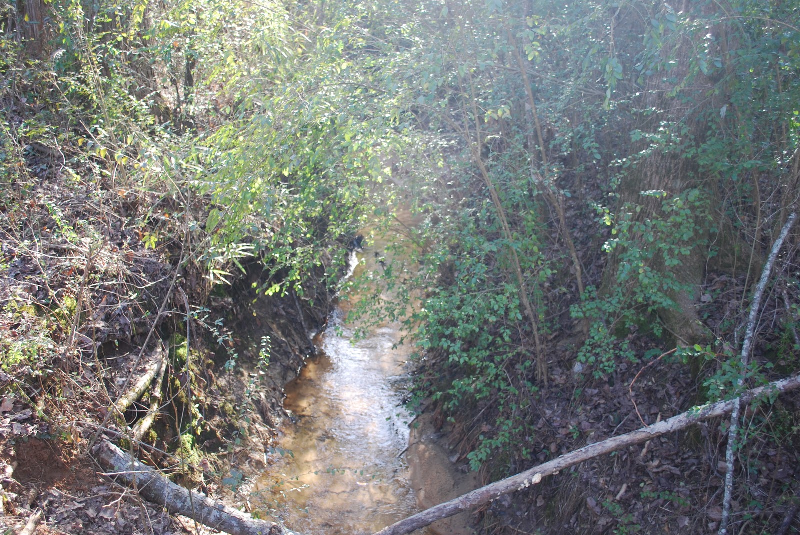
Conditions: Beautiful day.  Very mild temps to mid 70s.  Wind calm.  Mostly clear.  Lake level quite low.
Thoughts/Observations:
Hiked with Jon & Amber.  It was so good to share this special time with them.  Had a great time.  Feels like Spring today!  Passarines and crows in abundance.  The small patch of woodland violets (by the lakeside) are blooming already!  Thank YOU, LORD, for life, love, and beauty.  Thank YOU for creating all of this.  YOU are magnified in YOUR creation.  Open our eyes to see YOU.


Sunday, February 13, 2011

Sunday Afternoon Hike - Mountain Creek - 2/13/2011

Hike: Mountain Creek, Sunday, 2/13/2011 14:42-16:45
Distance: 4 miles  Rating: 5/5
Difficulty: Easy
Conditions: Almost perfect.  Temps in upper 60's.  Clear, blue sky.  Wind light.  Trails mostly dry except in low places.  Plenty of water flowing in creek.

Thoughts/Observations:

Spent the afternoon hiking the trails and drinking in the love of GOD as displayed in and revealed through HIS creation.  As I spent time in this favorite destination I was caressed by the gentle breeze, warmed by the glow of the afternoon sun, serenaded by a choir of avian singers, engaged by the dance of various winged insects, and enraptured with the joy of life.  Even in the "dead of winter", life abounds.  And yes, GOD created and orchestrates ALL of it!

I think I have some Spring fever already.  I want to go camping!


Saturday, February 12, 2011

Hiking Swayback Bridge Trail - 02/12/2011

Hike: Swayback Bridge Trail, Wetumpka, AL, Saturday, 02/12/2011 08:18-12:12
Distance: 9.5 miles  Rating: 5/5
Difficulty: Easy to Moderate
Conditions: Glorious!  Bright, clear blue sky.  Not a cloud in sight.  Light wind.  Low 30's to low 50's.  Trails wet but not muddy.  Two other hikers and two mountain bikers on trails.  Swampy area at trailhead was frozen over at beginning of hike.

Thoughts/Observations:

Observed many passarines, crow, and woodpeckers.  A few trees are beginning to show sign of budding!  Spring is coming!  A few insects moving around as it warmed up.  Frogs were loudly singing at the trailhead swamp as I exited the trail.  In the dead of winter life still remains.

Hiked a portion of the black trail today which added with the red trail totaled 9.5 miles. 

Such a beautiful, peaceful, quiet place of solitude.  It is so easy here to "be still and know GOD".  The green tops of the Pines stand out vividly against the bright blue sky, as the gray spires of the leaf-less hardwoods paint stripes across the heavens.  Thank YOU for meeting me here, LORDYOU are magnified in YOUR creation.  Strains of Joyful, Joyful, We Adore THEE played through my mind. 

Hiking Swayback

Wonderful 9 mile hike at Swayback Bridge Trail. Forest is alive with sights & sounds of life. Hope the SON shines in me as bright as the sun is in the forest today!

Friday, February 11, 2011

Nature Photo of the Week: Yosemite


Unimaginably beautiful! Nature photo of the week from Yosemite National Park, Cathedral Peak and Upper Cathedral Lake. Photo from Flickr.

Paddler Makes First Solo Descent of Australia's Fitzroy River

Absolutely beautiful landscape... but, honestly I cannot see myself running Class V whitewater and especially NOT going over waterfalls like this! A water flow of 21 times the Colorado River through the Grand Canyon is HUGE. (lwt)


"
Aussie paddler Lachie Carracher has completed the first solo descent of his country's largest volume river, the 733km (455 mile) Fitzroy located in the remote West Kimberly region of Western Australia. The entire journey took six days to complete, with a number of obstacles to overcome, including raging Class V rapids, precipitous waterfalls, and crocodile infested waters.


According to Outer Edge Magazine, who named Lachie their Young Adventurer of the Year, the paddler completed the expedition on Wednesday of this week. Once off the water, he immediately contacted his father and began to consider making another run on the Fitzroy, which is one amongst the top whitewater challenges in the world.


Making a solo descent of the river is no small feat. According to Outer Edge, the Fitzroy has an astounding water flow that measures 21 times that of the Colorado River as it passes through the Grand Canyon. That flow generates plenty of dangerously rough waters and lots of speed as well.


This is certainly an impressive first descent for any kayaker, and I want to join my friends at Outer Edge in extending a hardy congratulations to Lachie on a job well done. To read more about the paddler and his adventures on the Fitzroy, check out his website at Follow-The-River.com.
"

Monday, February 07, 2011

Weekend Cabin: Delta Shelter, Mazama, Washington

{I like this, I like this a lot... though I'm not sure if it's the cabin as much as the setting!... Gorgeous and idyllic are the words that come to mind.}

"


Built in 2005 in Mazama, Washington, and designed by Tom Kundig, the Delta Shelter is 1,000 square feet of modernist retreat. It measures 20×20, sits three stories tall, and has 10×18 steel shutters that are opened or closed via a hand-cranked wheel.


Photos: Tom Bies


Weekend Cabin isn’t necessarily about the weekend, or cabins. It’s about the longing for a sense of place, for shelter set in a landscape…for something that speaks to refuge and distance from the everyday. Nostalgic and wistful, it’s about how people create structure in ways to consider the earth and sky and their place in them. It’s not concerned with ownership or real estate, but what people build to fulfill their dreams of escape. The very time-shortened notion of “weekend” reminds that it’s a temporary respite.

"

The cost of resilience and self sufficiency...

{A good read on Generalization vs. Specialization; the costs associated (and more than just mere dollars). A "step back" to look at our culture reveals a very fragile web holding everything together! What/Who are you relying on? Give it some thought.}

"One of the first lessons in economics is that of the beneficial effects of specialization. We're all better off if we specialize in doing something that we do better than others. Joe the Mechanic is better off if he focuses on mechanics, not sewing. And Suzy the Seamstress is better off if she sews than if she tries to fix cars for a living. And they're better off if they trade their services.


Now we can extend this to the greater economy. For a long time, travel and lack of technology were limiting factors in the amount of specialization we could have. Because of this, we had some built-in robustness. A large number of people needed to be involved in food production, and most important services had to be available on a local level.


Today, the ease of worldwide travel and productivity/communication gains from technology have allowed us to become more and more specialized. This is generally a good thing, as specialization makes everyone effectively richer through lower prices and better earnings. However, this high level of specialization has made us increasingly dependent on the 'grid' of modern life.


For example, only 2% of America's population is involved in agriculture. Technology has allowed farmers to become incredibly productive, decrease the amount of human labor needed and driven down the price of food. There isn't a demand for the huge amount of farm labor that their was in the past, so the population has moved on to other professions (mostly service-based).


However, America is FAR from food-self sufficient, and individual cities are even less so. We rely on massive imports from around the world and a network of trucks to move food across the country and into our cities. We've all specialized OUT of agriculture and rely on the grid to feed us. In normal times, it works fine--you don't have to spend hours and hours struggling to work a small farm, and can instead focus on working at your job.


It's the same story for energy, manufactured goods, water, you name it. Our clothes are made on the other side of the planet, electricity is delivered in from dozens or hundreds of miles away. Again, this is generally a good thing, as it gives us lower costs and often better quality (Samsung is better at making TVs than I am). And it allows us to focus on what we're good at, both at an individual level and a macro level. You don't have the knit your own t-shirts or build your own LCD TV, you can buy them at the shopping mall.


However, because we've specialized AWAY from being able to do all of these things for ourselves, we're reliant on a functioning grid to deliver them. If the grid stops working or becomes too expensive to interface with (energy cost, taxes, etc.), then we're screwed.


So, survivalists and preppers seek to reverse the trend of specialization and become self sufficient or grid independent. There are, of course, varying levels of self sufficiency that you can choose to go after--some people are more gung-ho than others. However, you need to realize that self sufficiency is costly and inefficient; specialization exists for a reason. Doing-it-yourself is very expensive, both in terms of investing in your home's infrastructure and in your time.


Let's look at producing your own food, and let me start by saying that I think growing your own food is a great idea. First thing you need is land; 2 to 5 acres, at least. If you're living near a population center (jobs), this can be a considerable expense. You also need all of the farming implements--tools, machines, watering systems and so on. Fertilizer, seeds, sprays and weed killers. And then lots and lots of labor. Planting, watering, weeding, caring for and harvesting. All of this labor has an opportunity cost--you could be doing something else with your time - like working at a job.


Do the math. How much does your family spend on food in a month? $400? $600? Even just looking at labor costs and ignoring all of the machinery, cost of land, seeds, etc., and figuring that you would need to work 4 hours a day (this is the time figure given in the Backyard Food Production DVD), and your farming time could otherwise be spent working a $12/hour job...your effective cost of food producing labor would be:


$12 x 4 hours a day x 7 days a week (no breaks for farmers) x 4 weeks = $1,344 a month


And yes, I know there are other benefits to producing your own food (peace of mind, quality, health and so on), but regardless, you can see the cost and inefficiency here, just when looking at labor! Add in land, cost of production, machines and the numbers become even more skewed. And it's with a $12/hour job!


This same inefficiency will run through everything you would want to be self sufficient in. Want to generate your own power? You'll need massive investments in equipment--solar panels, windmills, diesel generators and tanks, etc.--plus labor (operation and maintenance), spares, operating costs, learning time, and so on. Doing it yourself is costly and inefficient when compared to just hooking into the grid.


Am I trying to discourage anyone from becoming less grid-dependent? No, not at all. I am just trying to point out the rarely discussed costs of becoming more self sufficient. Before venturing into a self sufficiency project or lifestyle change, crunch the numbers. Calculate the costs, both in terms of real costs and opportunity costs. Figure out the gap between those self sufficiency costs and the cost of being grid tied. Then decide if your reasons for becoming self sufficient in that area are worth that sizable gap.

"

Saturday, February 05, 2011

Cherokee Ridge Alpine Trail - Sat. 2/5/2011

Hike: Cherokee Ridge Alpine Trail (all trails), Sat. 2/5/2011, 08:47-13:00
Distance: 7.2 miles  Rating: 5/5
Difficulty: Moderate
Conditions:  Mostly cloudy.  A few patches of blue from time to time.  Breezy.  Upper 30's to low 40's.  Cold on the windward side of ridges.  Trails wet from rain.  Water still running off to lake in drainage areas.

Thoughts/Observations:

Observed several cardinals, tufted titmouse, and crows.  Choppy on the main lake but calmer in sloughs.  Good time to pray, meditate, and worship.  Thank YOU, LORD GOD, for what YOU have done and for what YOU are going to do. 

Thought a lot about friends at Crestview.

Considered some projects I can be doing at home to simplify our lives.  Simplicity and sincerety on my mind quite a bit lately.  Also considering ways to better prepare my family for emergencies or difficult times


.

Friday, February 04, 2011

Hiking northern Mars: wind and shifting sands

Anyone up for Hiking on Mars?.... sounds like it would be like hiking in the desert!

Long-term forecast for northern Mars: wind and shifting sands: "

Space scientists – who until now believed the sand dunes of northern Mars were frozen in time – now realize the martian sands are changing with both sudden and gradual motions.


Image Credit: NASA/JPL-Caltech/University of Arizona


NASA’s Mars Reconnaissance Orbiter has been peering down at this part of Mars – an area the size of Texas – over a period covering two Martian years, or about four Earth years. The orbiter’s camera observed these dune fields in a band around the planet at the edge of Mars’ north polar cap.


Three images of the same location taken at different times on Mars show seasonal activity causing sand avalanches and ripple changes on a Martian dune. Time sequence of the images progresses from top to bottom. Each image covers an area 285 meters (312 yards) by 140 meters (153 yards). The crest of a dune curves across the upper and left portions of the image.


According to NASA:


The High Resolution Imaging Science Experiment (HiRISE) camera on NASA’s Mars Reconnaissance Orbiter took these images. The site is at 84 degrees north latitude, 233 degrees east longitude, in a vast region of dunes at the edge of Mars’ north polar ice cap. The area is covered by carbon-dioxide ice in winter but is ice-free in summer. The top and bottom images show part of one dune about one Mars year apart, at a time of year when all the seasonal ice has disappeared: in late spring of one year (top) and early summer of the following year (bottom). The middle image is from the second year’s mid-spring, when the region was still covered by seasonal carbon-dioxide ice.


Spring evaporation of the seasonal layer of ice is manifested as dark streaks of fine particles carried to the top of the ice layer by escaping gas. The bottom of the ice layer, in contact with the dark ground, warms faster than the top of the ice does in the spring. Carbon-dioxide gas produced by the thawing of the bottom ice is temporarily trapped under the top ice. As the ice evaporates from the bottom, flow of gas under the ice destabilizes the sand on the dune and causes the sand to avalanche down the dune slipface. A before-and-after comparison of the dune shows new alcoves and extension of the debris apron on the slipface of the dune caused by descending grains of sand. New wind ripples appear on the debris apron.


So the sands of northern Mars – once believed to be frozen and still – have been seen by the HiRISE camera on NASA’s Mars Reconnaissance Orbiter to be in motion. Now, more than ever, we now see Mars as a dynamic world – pristine – and with eternally shifting sands. Will we be able to resist going there?


"

Wednesday, February 02, 2011

Cold & windy in Baton Rouge. Miss everyone. Praying 4 u all tonight. Hope NOT to see freezing precip tomorrow nor Friday! :-)